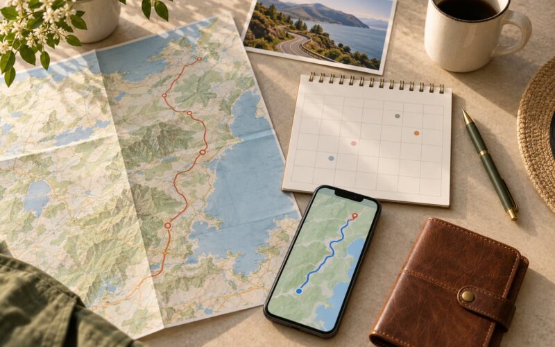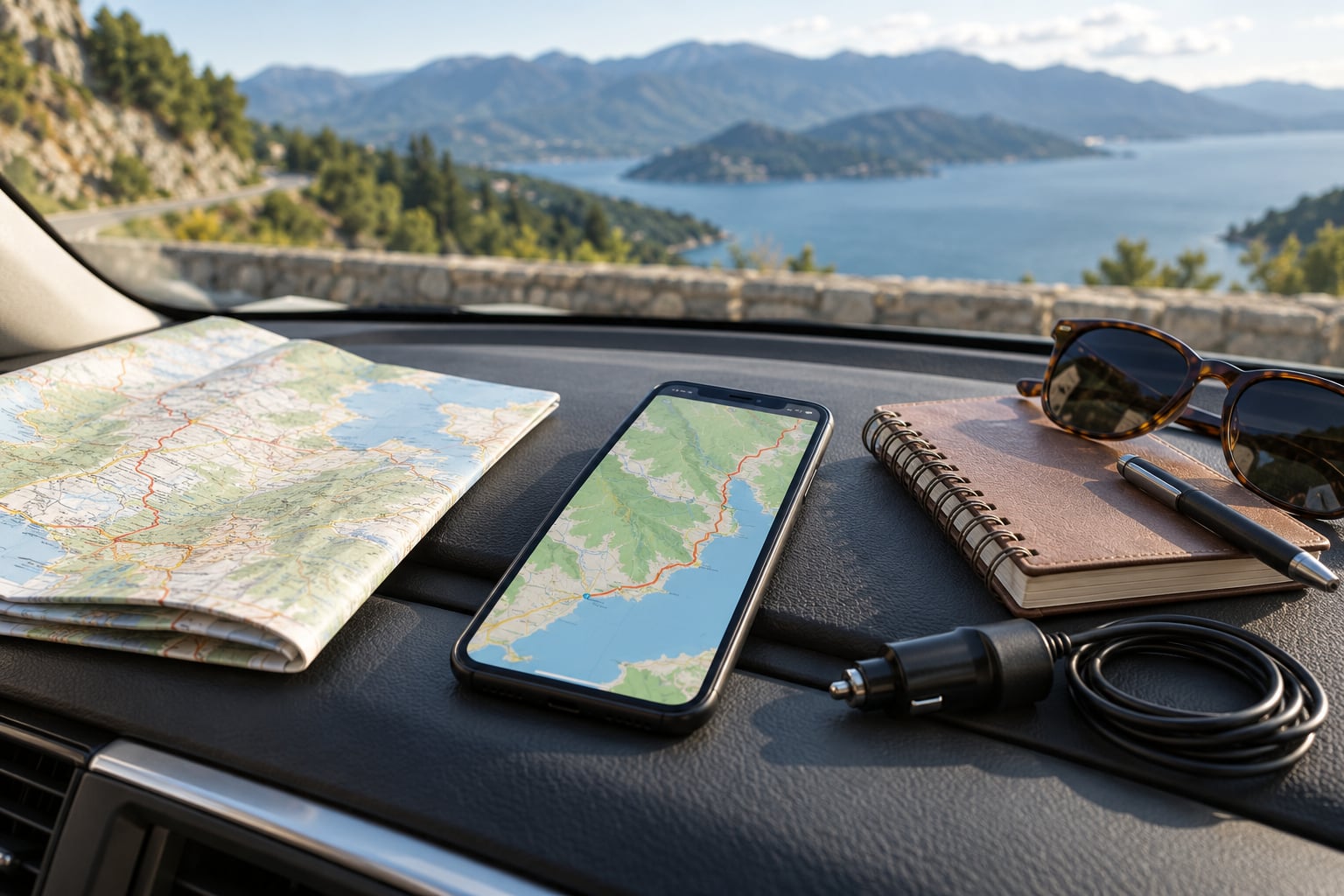
Learning how to use offline maps while traveling takes about ten minutes of setup, and it is the difference between knowing where you are and guessing at a mountain junction with no bars. Download the regions you will drive, save the stops you care about, then test the whole thing in airplane mode before you leave. Updated for October 2026.
Your phone already knows exactly where it is. The GPS receiver talks directly to satellites and does not need a cell signal or a data plan, which is the part most travelers get wrong. Downloaded map data is simply the street layer that goes with it.
Table of Contents
What You Need to Use Offline Maps While Traveling
Any smartphone from the last decade works, and the map app you probably already have installed is enough. Google Maps handles offline downloads on both Android and iPhone. Apple Maps is built into iPhone and covers the whole map of a country rather than a bounded rectangle.
You need four things before departure:
- A phone with location services turned on
- Google Maps or Apple Maps, and for Google Maps a signed-in Google account
- Roughly 1 to 2 GB of free storage for a multi-day drive across a whole region
- A car charger, plus one connection to Wi-Fi or mobile data to do the downloading
The connection only matters at setup time. Once the map data sits on the device, turn-by-turn guidance, street names and your saved places all keep working in places where a bar of service never reaches.
The big platform difference: Google Maps lets you draw a rectangle over the area you will cover, which is precise but bounded. Apple Maps downloads by region, and an iPhone user covering several states or a whole country often gets more usable map out of Apple Maps than out of Google. On Android, Google Maps is the realistic default because Apple Maps has no meaningful Android version.
Step-by-Step: Download and Use Offline Maps
How to download maps in Google Maps
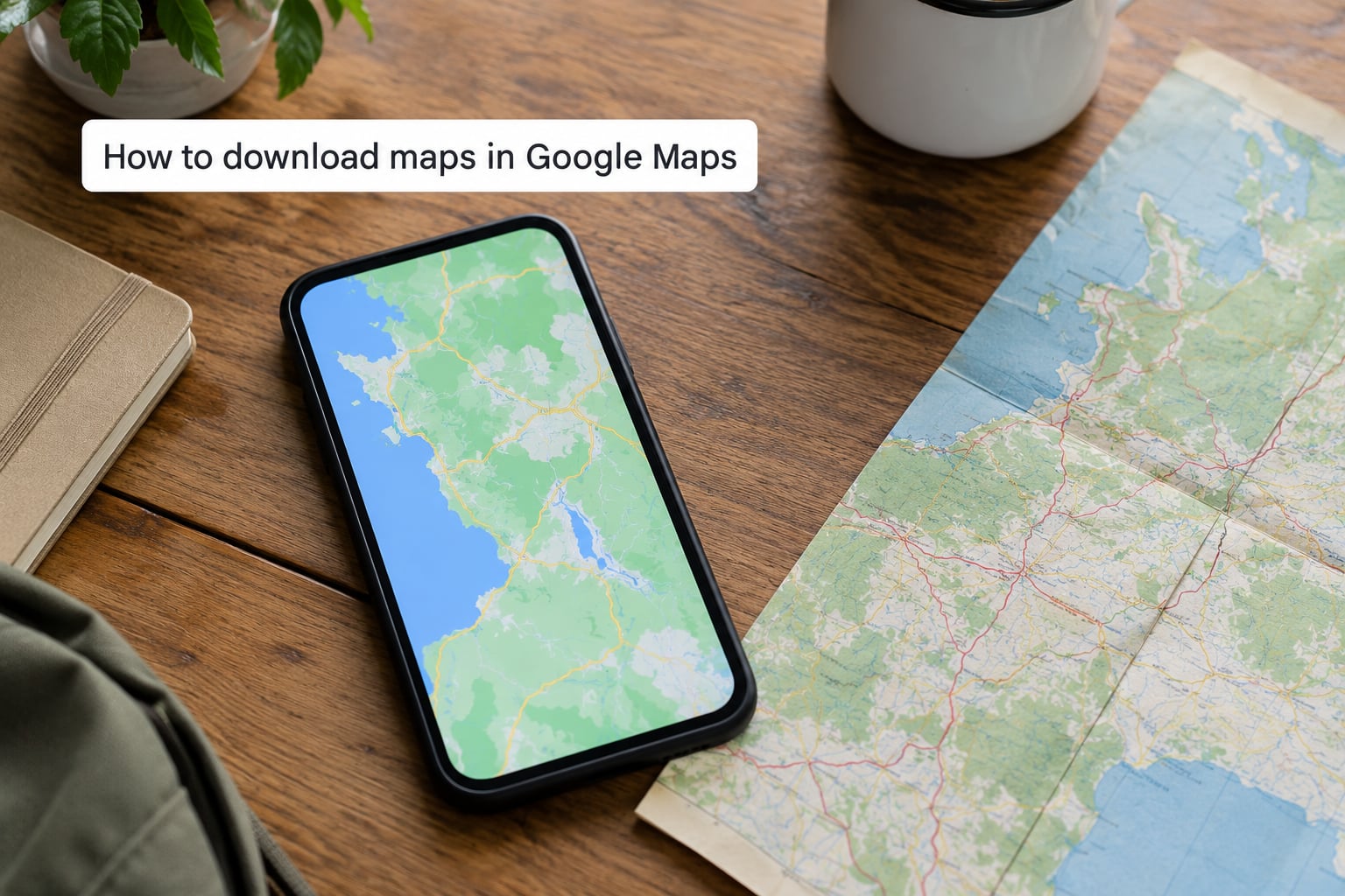
Open Google Maps, tap your profile picture in the top corner, tap Offline maps, then tap Select your own map. Drag the corners of the rectangle until it covers your route plus a generous margin on each side, tap Next, name the download so you recognize it later, and tap Download.
A second path exists if you already know where you are going. Search for a city or town, tap the three-dot menu on the result, and choose Download. That shortcut sizes the region around the search result, which is handy for a single destination and wrong for a road trip.
Download progress appears as a bar with the estimated size and finish time, so plug the phone in before you start a large one. The exact menu wording shifts between app versions, but Offline maps still lives under the profile picture rather than the old hamburger menu.
How to download maps in Apple Maps
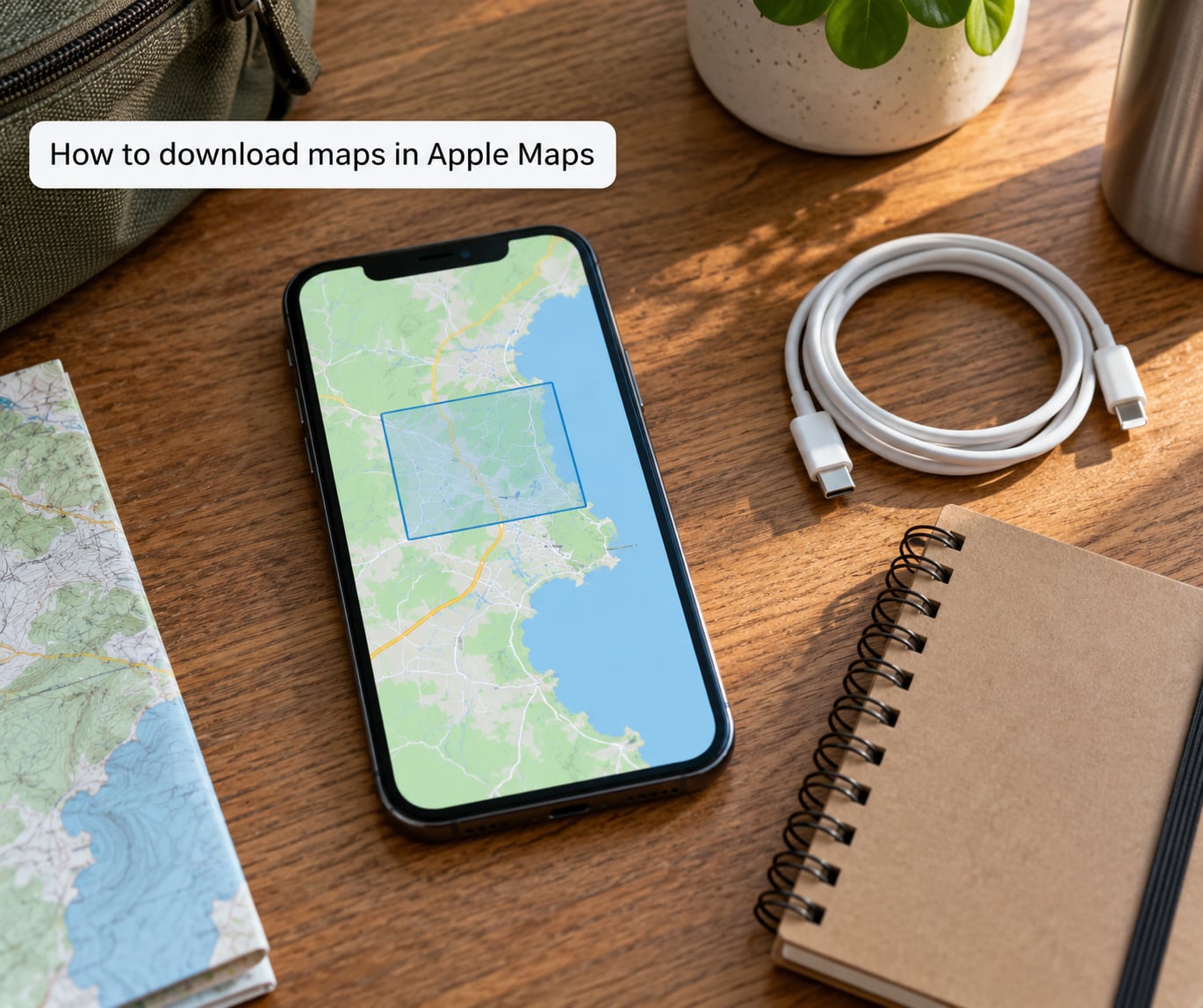
On iPhone, open Maps, swipe down on the map to reveal the search panel, then tap the app menu in the top corner and choose Offline Maps or Manage Offline Maps. Pick an area, tap Download, confirm, and wait for the region to finish saving. Labels differ a little between iOS versions, and the control moves around between releases, so look for the Offline Maps wording rather than a fixed icon position.
Apple Maps covers broad regions rather than a drawn rectangle, which suits a multi-state road trip better than Google Maps on iPhone. Apple Maps also keeps turn-by-turn guidance, saved favorites and terrain detail on device, and it works in countries where Google Maps data is thin.
How to save routes and places for offline use
A downloaded region gives you streets. It does not give you a place you thought of at midnight. Saving is a separate step, and doing it before you go covers the gap.
- Tap Save or Favorite on a hotel, campsite, trailhead, fuel stop or restaurant so it lands in your saved list
- Create a custom list for the trip, for example Utah May, and drop each stop into it
- Drop a pin on a campsite number or trail junction, then name the pin something you will recognize
- Save the full driving route from a home city to your destination so it opens without a recalculation
The distinction matters. A downloaded map covers ground. A saved place or saved route is a single item you can open without searching. New place search does not work offline, so anything you might want later has to be saved first.
How to switch to offline navigation
Offline mode is not a switch you flip. Once the region is on your phone, start a saved route and navigation runs from downloaded data. To prove it, put the phone in airplane mode and run the route anyway. If the line draws and the voice calls each turn, you are covered.
Some features simply cannot work without a connection, and knowing which ones saves you from waiting for something that will never load.
| Feature | Works offline | Workaround |
|---|---|---|
| Turn-by-turn driving guidance | Yes | None needed |
| Street names and road labels | Yes | None needed |
| Saved places, lists and pins | Yes | Save before departure |
| Live traffic and real-time ETA | No | Allow extra time on paper or offline |
| Rerouting around a road closure | No | Download the bypass area too |
| Searching for a new address | No | Save the address first |
| Street View and place photos | No | Skip while offline |
| Walking, cycling and transit directions | Not in Google Maps | Use Apple Maps, Citymapper or a transit app |
| Battery on long driving days | Yes, in airplane mode | Keep a car charger in the console |
Travelers on mapping forums describe the same pattern reliably. Offline driving guidance holds up on highways and mountain roads, while anything requiring a live lookup quietly fails.
How to plan for weak coverage and battery limits
Download maps at home on Wi-Fi rather than at the border of a coverage zone. Add a margin of 30 to 50 miles around your route, since a detour onto a county road or a spur road is exactly when you will need the extra ground.
Refresh existing downloads the night before you travel by opening them and choosing Update, which pulls the newest road changes over Wi-Fi. Untouched downloads can be cleaned up automatically after roughly two to four weeks, so opening each one shortly before departure keeps it alive.
For battery, airplane mode during offline navigation is the practical trick, since the phone no longer hunts for a signal. Drop screen brightness, keep the phone mounted rather than loose in a cup holder so it does not overheat, and write down the key directions for the first leg as a backup.
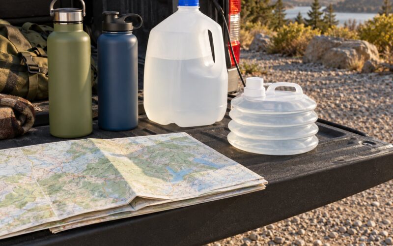
If you are crossing real wilderness, a paper map or a dedicated handheld GPS unit is still worth packing. Phone batteries fail in the cold, and a topo app built for trails carries far more detail than a road map ever will.
Common Mistakes When Using Offline Maps
Downloading an area that is too small. This is the most common failure. People draw a rectangle around one city, then discover the download ran out two hours later. Cover the whole drive plus the detours you would plausibly take.
Expecting live traffic, closures or business details. An offline map knows the road existed when the data was downloaded. It will not warn you about a closure from this morning, and searching for a restaurant you did not save will return nothing.
Letting downloads expire or get cleaned up. Regions that sit untouched for a few weeks are removed automatically. Open each download a week or two before departure and tap Update to keep it alive and current.
Being signed into a different account. Google ties offline downloads to the account you were signed in with when you made them. If you download on one account and then sign into another, the maps vanish from view even though the data is still on the phone.
Never testing offline mode. A download that shows a map can still fail to route, because the route runs off the edge of the saved area. Put the phone in airplane mode at home, run the route end to end, and fix problems while you still have Wi-Fi.
Relying on a single phone. Download the same regions to a second device for a trip where getting lost would be costly. It takes five minutes and it is the cheapest redundancy available.
Frequently Asked Questions
Do offline maps still work without cell service?
Yes, as long as the region is already downloaded. Your phone gets its position from GPS satellites, which need no cell signal, and the map data is stored on the device itself. Turn-by-turn driving guidance, street names and saved places keep working. Live traffic, search for new addresses and rerouting do not.
How much storage do offline maps need?
A single city usually takes a few hundred megabytes, while a multi-state region commonly runs 1 to 2 GB. Apple Maps regions vary widely by area size. Check free space before downloading, and delete regions after each trip through Manage Offline Maps to keep the phone from filling up.
Can I use offline maps for GPS navigation?
Yes. GPS is a separate system from mobile data, so a downloaded map navigates in flight mode. Put the phone in airplane mode and start a saved route to test this. The one caveat is that walking, cycling and public transit directions are limited in Google Maps offline, so pick your app for city trips.
Do Google Maps and Apple Maps work offline the same way?
Not quite. Google Maps lets you draw a custom region with a size limit, while Apple Maps downloads broader areas with no such cap. Apple Maps handles walking, cycling and transit guidance offline far better. On iPhone, travelers covering a whole country usually get more usable offline map from Apple Maps than from Google.
How often should I update downloaded maps?
Open and update each download about a week before departure, then again the night before if you can get onto Wi-Fi. Untouched downloads can be removed automatically after roughly two to four weeks, so a recent visit keeps the region alive and pulls in new road changes and construction.
Conclusion
Start tonight. Download the regions covering your full route, save every hotel, fuel stop and trailhead, then switch on airplane mode and run the first leg of the trip to prove it works. Ten minutes of setup covers you from dead zones to battery drain, and a paper map in the glove box covers the rest.