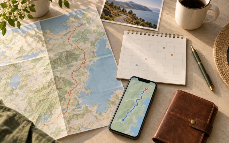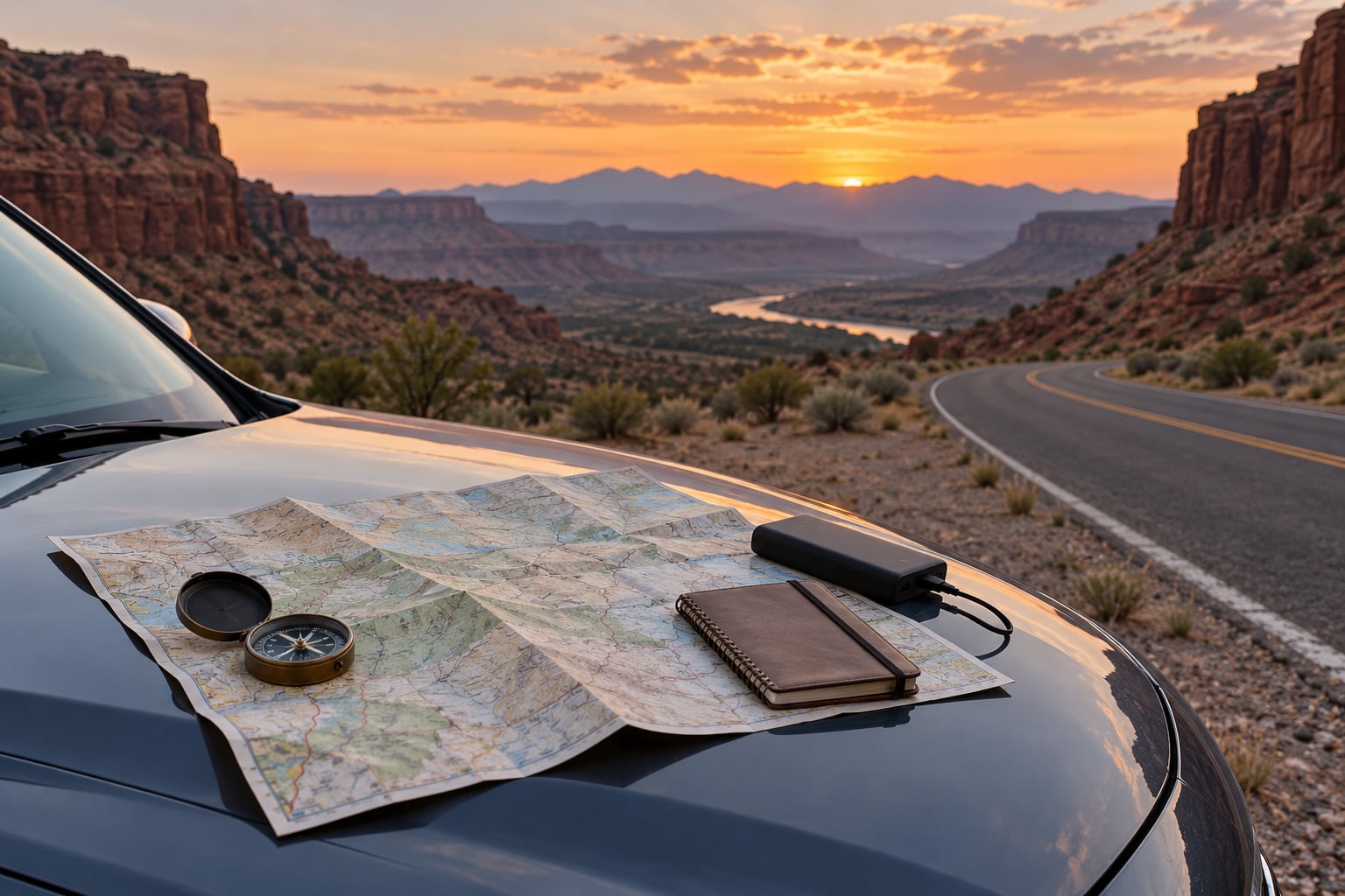
To plan a road trip without a GPS signal, download offline maps for every region on your route, print a paper map or write a route card, track landmarks and mile markers as you drive, and carry backup power so your phone never dies. GPS itself keeps working with zero cell service, because your phone locks onto satellites rather than towers.
That last point clears up the biggest misconception out there. People see no bars and assume navigation is gone. It is not. GPS is a separate signal from cellular coverage, so a downloaded map keeps working in a canyon with nothing but sky above it.
What actually breaks without data is narrower than most people expect. Live traffic, business details, search results outside your downloaded region, and rerouting after an unexpected closure all need a connection. A phone still shows an approximate position with no service, which is enough to confirm you are on the right road.
The real enemy is a flat battery. A dead phone leaves you with nothing, and that is the failure case this plan is built around. Most of the work takes about an hour at your kitchen table.
Table of Contents
What You Need
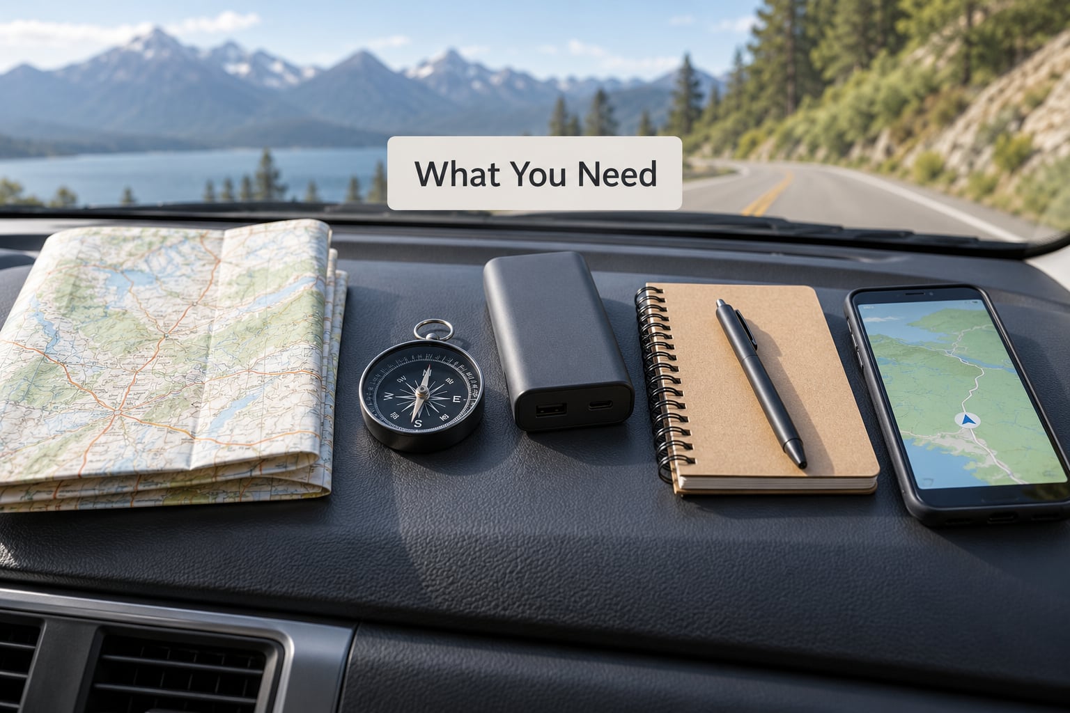
Gather these before you load the car. Nothing here is exotic, and every item covers a different way navigation fails.
- Offline map downloads for each state, province, or country on your route, saved on your phone and ideally on a second device.
- A paper map or atlas covering the whole route, not just the states you expect to use GPS in.
- A handwritten route card with your key turns, exits, fuel stops, and overnight stops in order.
- A compass, so you have a direction when the road and the map disagree.
- A car charger and a power bank, both charged to full the night before.
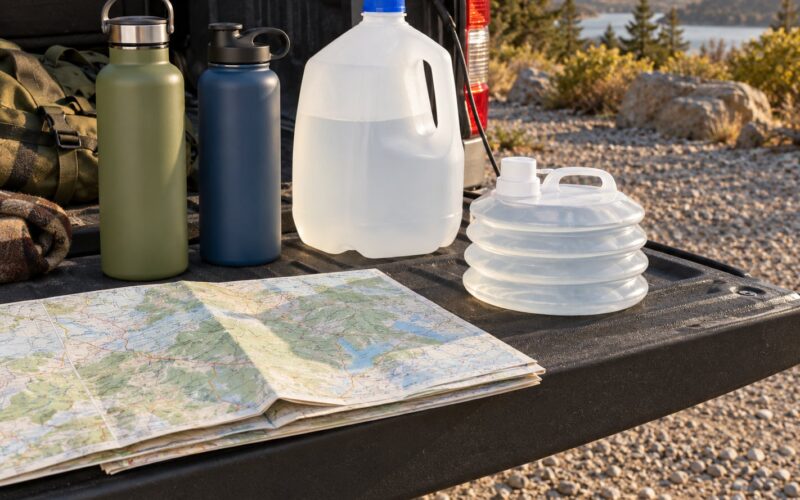
- An emergency kit with water, food, a first aid kit, a flashlight, and a charged battery pack.
- A written itinerary left with someone at home, including your route and the dates you expect to be out of contact.
- A satellite messenger or personal locator beacon if you are heading somewhere with no coverage for days. These are for emergencies, not navigation.
Step-by-Step Plan for a Road Trip Without a GPS Signal
How to choose your route
Choose the route before you worry about the tools. On paper, list every waypoint in order: start, overnight stops, fuel, the destination, and the way home. Mark each leg with its distance, the road number, and the exit you plan to use.
Then flag the stretches where coverage tends to die. Mountain passes, canyon roads, long desert highways, forest service roads, and rural interstate between small towns are the usual suspects. For those legs, write down the nearest reliable resupply point on either side, and note the distance between them.
Add a backup road for every remote leg. If the primary road is closed by rockfall, snow, or flooding, you want a second option already written down instead of one you invent at the junction. Add the fuel range your vehicle manages on a full tank, so you know whether that backup is actually reachable.
How to download maps for offline use
Download maps while you still have Wi-Fi, and download more than you think you need. Every app stores regions differently, so the table below covers the usual choices and where each one is strongest.
| App | Price | Offline coverage | Works without data | Best for |
|---|---|---|---|---|
| Google Maps | Free | Region based, not whole countries | Yes, after download | Drivers already using it, city-to-city trips |
| HERE WeGo | Free | Whole country packages | Yes, and it avoids background data use | International trips and border crossings |
| Organic Maps | Free | Region downloads | Yes | A free option with no account |
| OsmAnd | Free, paid Plus tier | Region downloads, fine detail | Yes | Topographic detail and offline contour lines |
| Maps.me | Free | Country and region packages | Yes | Simple place search while offline |
| Gaia GPS | Subscription | Layer downloads by area | Yes | Forest service and backcountry roads |
Save the destination details too, not just the tiles. Screenshots of your route, the arrival address, and hotel confirmations survive a dead app. Google Maps has one practical limit worth knowing: you cannot download an entire country, so split long routes into several regions.
Then test it in airplane mode. Open the map, run the route, and check that the blue dot holds position and the route line stays visible with Wi-Fi and mobile data both off. If the map is grey, the download did not complete.
How to make a paper route backup
Fold the paper map so the section you need right now sits on top, and mark your route with a pen as you plan, not as you drive. Write down the primary road, the backup road, mile markers or exit numbers, towns with fuel and water, overnight stops, and a phone number for roadside help.
Add a mileage note beside each waypoint. Distance is how you confirm progress when nothing else is working, and it also tells you whether the next fuel stop is inside your range.
The strip map idea, borrowed from preparedness writing, scales down well here. Draw a single simplified line of the route on a sheet of paper, and label the landmarks in sequence along it: the pass, the tunnel, the river crossing, the grain elevator. Ten minutes of drawing gives you a page you can read at a stop without unfolding anything.
How to prepare your devices and power
Charge everything the night before, and treat the car charger as a required item rather than a convenience. Long legs between towns are exactly where a dead battery becomes a problem.
Download music and podcasts before you leave, so background playback never hunts for a signal. Enable airplane mode while driving and use Wi-Fi only for updates when you stop, which cuts battery drain and stops the phone from searching for a network in the canyon. Battery saver mode lowers the GPS polling rate, and most offline navigation apps have a low-power option for exactly this reason.
If you carry a second phone or a dedicated GPS unit, download the same regions to it. Two devices with the same map is the cheapest redundancy available.
How to test the plan before the trip
Run the whole plan in airplane mode at home. Start the route, drive the first twenty minutes, and check whether the app holds lock and whether your paper map matches the screen at every turn you noted on the route card.
Rehearse one leg from memory. Close the app, and say out loud the sequence of landmarks and turns for the first remote stretch. What you cannot recall is what you need on paper.
Where you can, do a short practice drive on a route you know, in airplane mode, with a passenger timing how long it takes you to check the map while safely parked. Waiting until you are lost to read a map for the first time is how trips turn into detours.
How to handle unexpected route changes
When a road closure or detour sign appears, slow down and read the detour panel properly, including the destinations listed and the exit numbers. Written detours are signed by the road authority and follow official temporary routes.
If there is no sign, consult your paper map at the next safe place to stop, not at the junction. Note the road number and direction you are on, find the next town you recognise, and work backwards. Missing a turn is normal; continuing on an unmarked road is the actual risk.
When in doubt, follow the larger road toward the next town listed on your route card. Turning back costs time, while an unverified shortcut on an unpaved road can cost hours.
How to stay safe when navigation fails
Pull over somewhere safe first, then think. Being stationary makes every step easier, and it keeps your attention off the road while you work.
Write down what you know: the last landmark or mile marker you passed, the road number, and the direction of travel. Send your location to someone at home if you have any signal at all, even one bar. Check the compass for a general bearing, then head for the nearest town on your route card.
Ask for help in person if you need it. Point at the road sign or the map and name your destination, and people will generally stop to help a driver who is visibly lost and polite about it.
If you are heading into a stretch with no coverage for days, carry water, extra fuel, and a satellite messenger. Emergency communication is not a substitute for planning, but it changes what happens when planning meets a flat tyre on an unmarked road.
Common Mistakes
Most problems on these trips trace back to one of five planning errors.
- Carrying only one navigation method. A single app with a single download is one glitch away from nothing. Fix: keep offline maps on two devices and a paper map in the glove box.
- Downloading maps for cities, not for the gaps. People download the regions they expect to need data in. Fix: download the rural spans first, since those are the ones where you cannot fix it later.
- Ignoring fuel and water gaps. Without live pricing or search, a 90-mile gap between services is a real constraint. Fix: write the distance to the next fuel and water on the route card and plan the tank around it.
- Carrying an unreadable paper map. Folded badly or at the wrong scale, a paper map is decoration. Fix: fold it to your route, mark it in pen, and store it flat in a sleeve so it survives a week in a door pocket.
- Taking unmarked unpaved shortcuts. A track on the map can be a seasonal washout. Fix: treat any road you cannot verify with signs or your own odometer as a detour, not a saving.
Before you leave, share the route and your check-in times with someone, confirm your offline downloads in airplane mode one last time, and pack the charger and power bank where you can reach them without unpacking.
Frequently Asked Questions
Do I still need a paper map if my phone has offline maps?
Yes, keep one for the remote legs. Offline apps are reliable for the route you planned, but they cannot help when a road is closed, when search returns nothing outside your downloaded area, or when the phone dies. A marked paper map covers exactly those three cases. Print one for the whole route, mark your primary and backup roads, and store it flat.
How do I read a road map without GPS?
Start with the legend and the scale bar, then find your road and follow it in the direction of travel. In the US, odd-numbered interstates run north to south and even-numbered ones run east to west. Note the exit numbers and towns along the way, and use the compass if you need a general bearing. Practice on a leg you already know before you rely on it.
How long does a power bank last with no way to charge?
Most power banks run a phone through two or three full days of normal use, and more with battery saver mode and airplane mode on. Continuous GPS navigation drains faster than ordinary use, so a 10,000 mAh pack is a reasonable minimum for a trip with long gaps between towns. Charge it and the car charger the night before, and treat the charger as the primary source.
What do I do if my phone dies and there is no signal?
Stop somewhere safe and out of traffic before doing anything else. Write down the last mile marker, exit or landmark you passed, plus the road number and your direction of travel. Consult your paper map or route card at that safe stop, then head for the nearest town listed on it. If anyone passes, ask for help pointing at a road sign. Expect hours without coverage and plan fuel and water accordingly.
Is there a free app to plan a road trip?
Yes, and most are better than you expect. Google Maps offline mode, Organic Maps, OsmAnd and Maps.me all run without data once regions are downloaded, while HERE WeGo offers whole-country packages and never uses mobile data in the background. Paid options such as Gaia GPS add topographic detail for forest and backcountry roads. The one requirement across all of them is testing in airplane mode before departure.
Start with a route you can verify offline
The first action is simple. Pick the route, write it down with its fuel and overnight stops, download every region to your phone and to a second device, print and mark the paper map, then run the whole thing in airplane mode before you leave.
Once that passes, you can drive through a canyon with no bars and no doubt. GPS keeps working without cell service, your battery is covered, and you know what the road looks like even if the phone goes dark.